By Lily-Rose Bracken
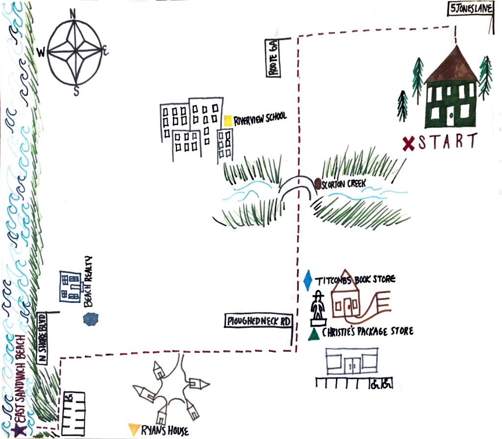
For this map I chose to draw directions from my house to East Sandwich beach. This is my favorite beach to go to in the summer because not to many tourists know about it, so it is mainly locals. This year the beach has become even more significant to me because my brother recently moved on the road that the beach is on with his girlfriend, which I depicted in the map. Some of the points that may be harder to recognize than others are the turns, but I tried to simplify the confusion by adding the street names facing where to turn. The struggle that I had with this map was reorganizing where the starting point was to have enough space for the other roads and turns. After playing around with pencil to sketch where everything should go, I decided to start in the top right corner because most of the turns were on the right hand side.
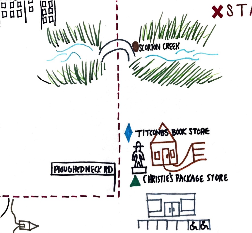
My favorite part of this map and when I physically take this route is driving over the Scorton Creek bridge. It is a very small bridge but people jump off during high tide and its always an enjoyable area. I used red to mark the path because viewers eyes will automatically be drawn to the color and follow it. I showed one of my friends from home my map and she understood each step, it probably also helps that she is familiar with the area.

PASS. Nice work adding just enough details about what to look at. This is a very pretty map, compass rose, and eye-catching landmarks. The picture as you’ve processed it looks clean and crisp. Using a ruler for aligning the text, or drawing some of the boxes/straight lines would get even more neurons to fire. Note- the map is missing one thing– a distance scale marker. A walking map, according to Google Maps, would take 4 miles. So, the last leg is about ~0.5 miles (in actuality, it seems to be 0.4miles). And the stretch down 6A is approximately (2 miles).
LikeLike